CHECK THE WEATHER FORECAST
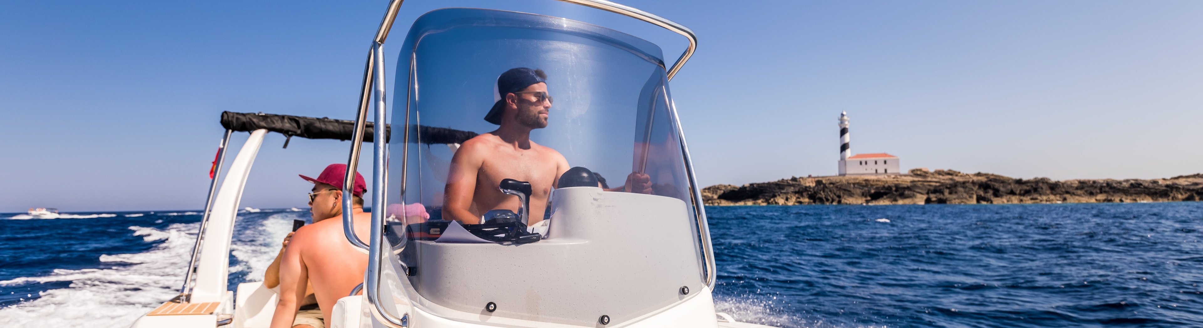
Navigating the coast of Menorca allows you to discover corners, caves and islets inaccessible on foot. It is important to plan the route well before going sailing.
In addition, it is essential to consult the weather forecast and plan the departure well. Menorca is the island of calm, but it is also characterized by its strong winds.
These are the websites that we recommend consulting the weather forecast, both before and during navigation:
• Windfinder
• PassageWeather
• Aemet
PREDICTING WEATHER THROUGH THE CLOUDS
Clouds of instability
CUMULES (Cu): If they are abundant in the morning, in summer, they mean storm in the afternoon. If they develop vertically they also have the same meaning. They never bring rain.
CUMULONIMB (Cb): Proximity of rainfall in the form of violent showers.
CIRCUMUMS (Cc): Between 5,000 and 6,000m, are formed by tiny crystals of ice, and announce cold weather.
ALTOCÚMULOS (Ac): They are more than 3,000m. They announce change of weather. They are often seen before the storms. When they are elongated and of smooth or cracked structure, increase in wind intensity.
Clouds of unlimited instability
ESTRATOCÚMULOS (Sc): A menudo traen lluvias débiles y, en ocasiones, nieve.
STRATOCUMMAGES (Sc): They often bring weak rain and, occasionally, snow.
Stability clouds
STRATEGIES (St): They are less than 2,000m and produce rain.
STRATUS (St): À moins de 2.000m, précipitations.
CIRRUS (Ci): When they are followed by other lower clouds (cirrostratus, altostratus), a warm front approaches. Good weather.
CIRRHOSTRATOS (Cs): If they come from the West, possibility of rain.
HIGH STREAMS (As): Threaten rain, although very weak and light.
NIMBOESTRATOS (Ns): Very gray, they hide the sun and bring rain.
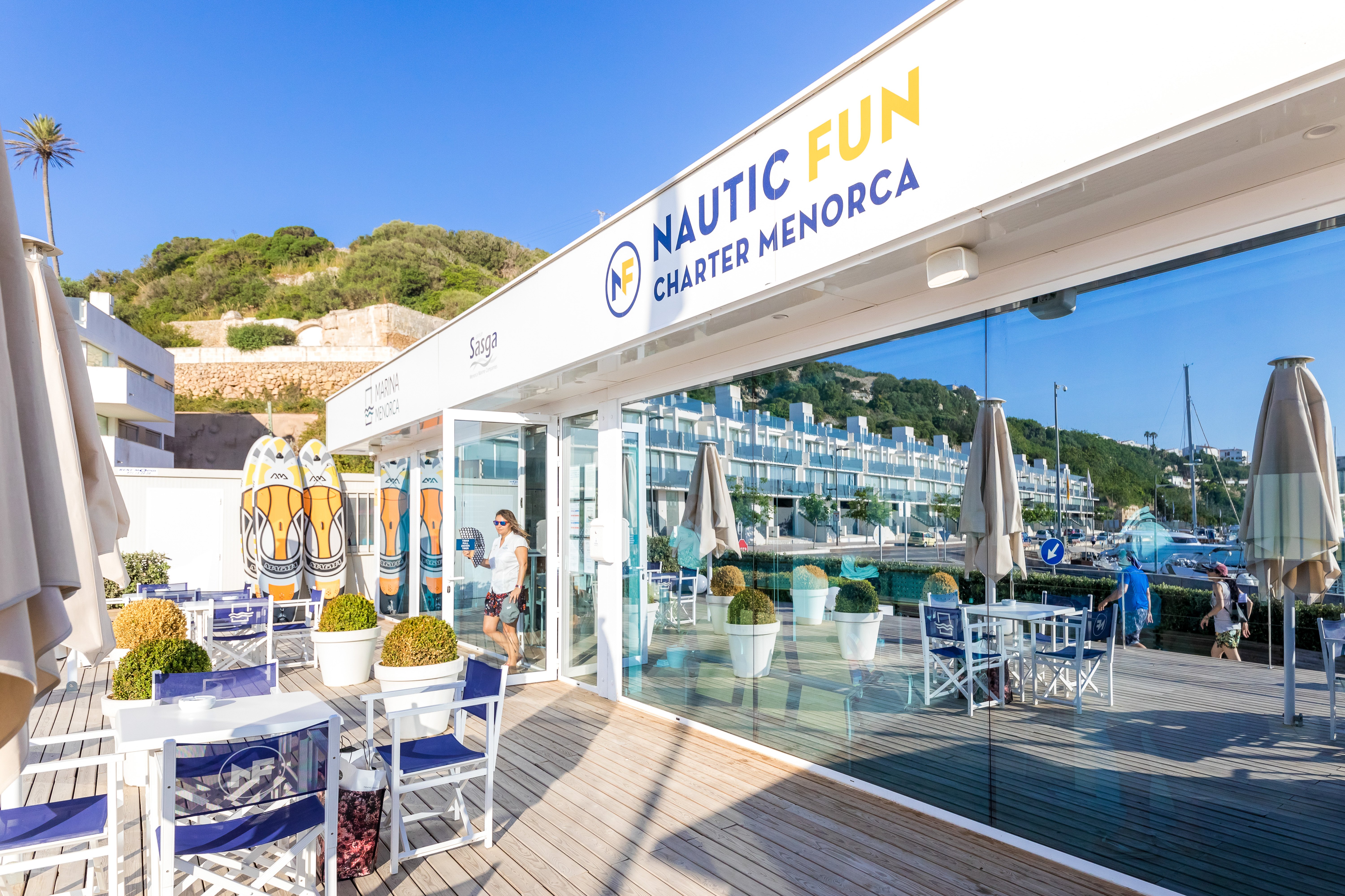
We will serve you in:
Moll de Sa Colarsega, s/n Port de Maó 07701 Mahón, Menorca
Tel. +34 971 364 250 / +34 670 396 396